

Discover our data

Quantifying the value of coastal ecosystems

Fusing remote sensing and AI with coastal ecology to create a new model for marine conservation & restoration

  • Years of R&D

  • Countries mapped

  • Coastline analysed

  • Seagrass blue carbon mapped

  • Publications

Scalable ecosystem accounting for blue carbon

Machine Learning

Proprietary framework & algorithms

Partner with us

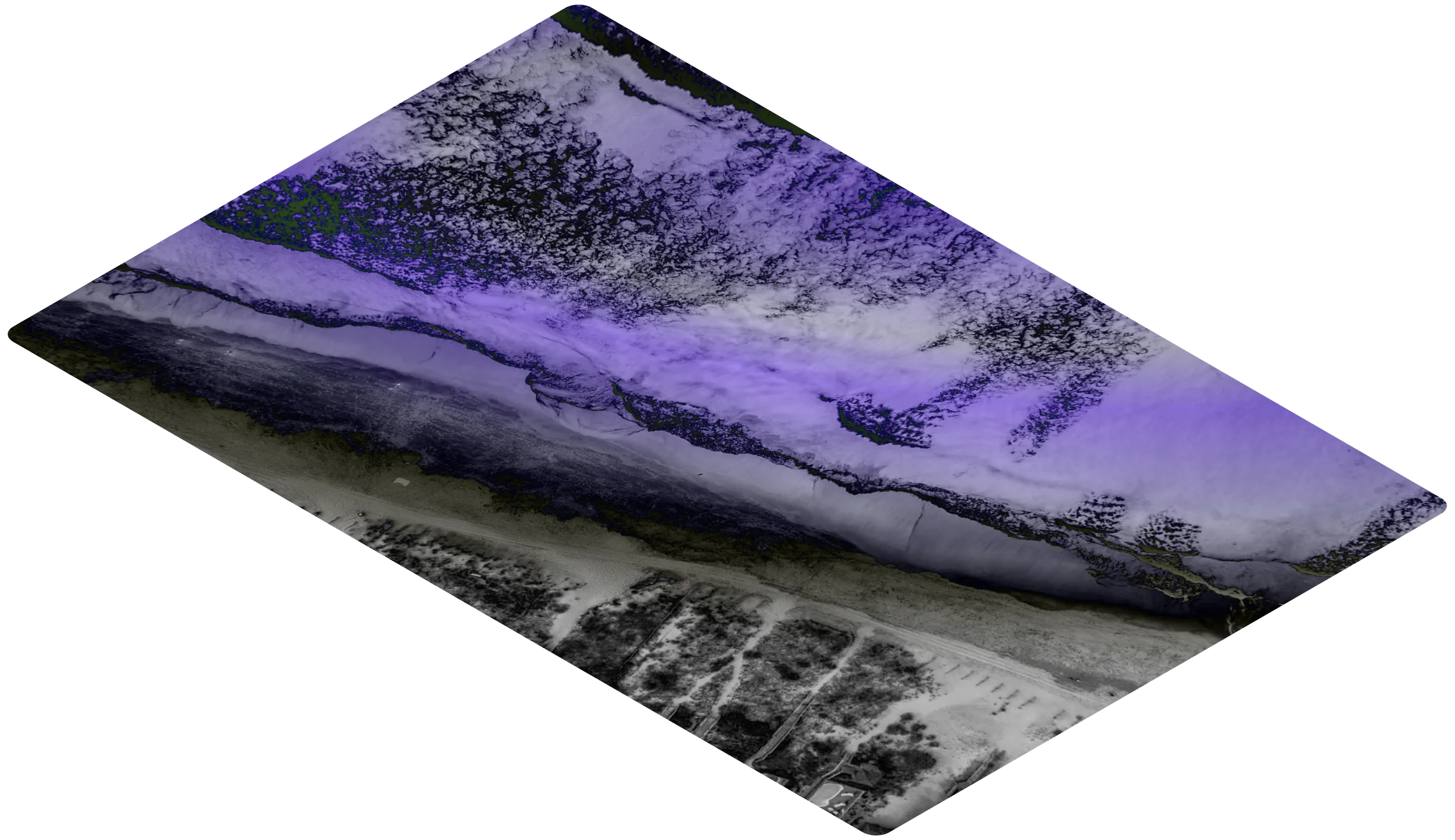
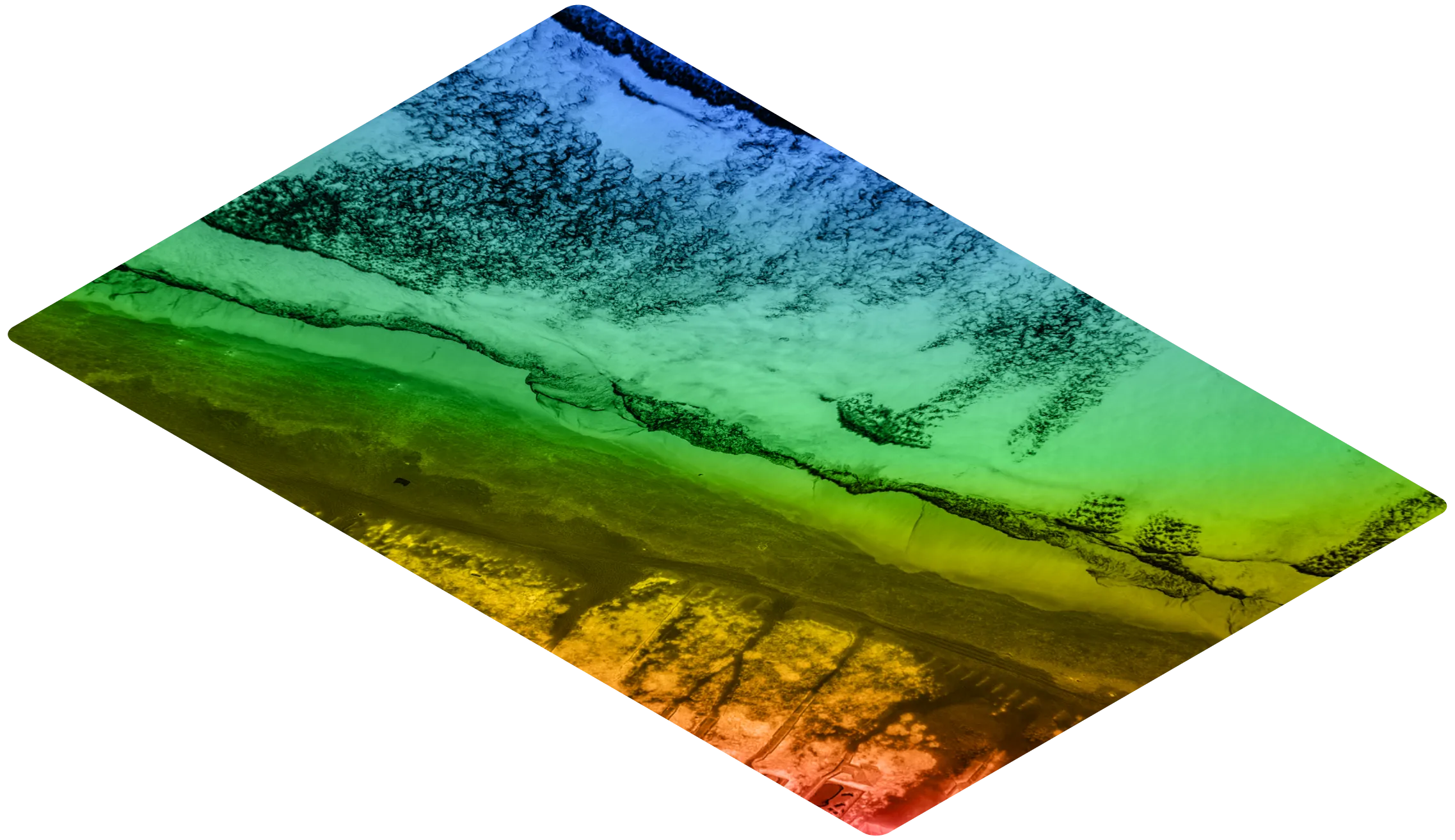
Remote Sensing Data

Satellite, LiDar, drone

Field Data

Synthesised, existing or collected

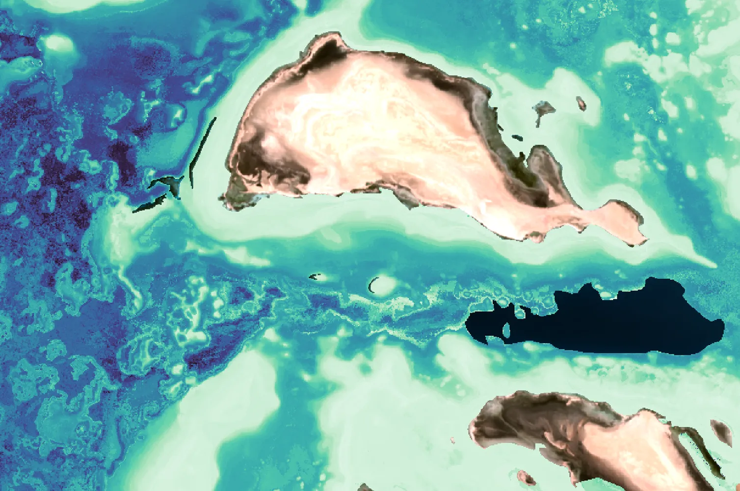
UN-SEEA Ecosystem Accounting

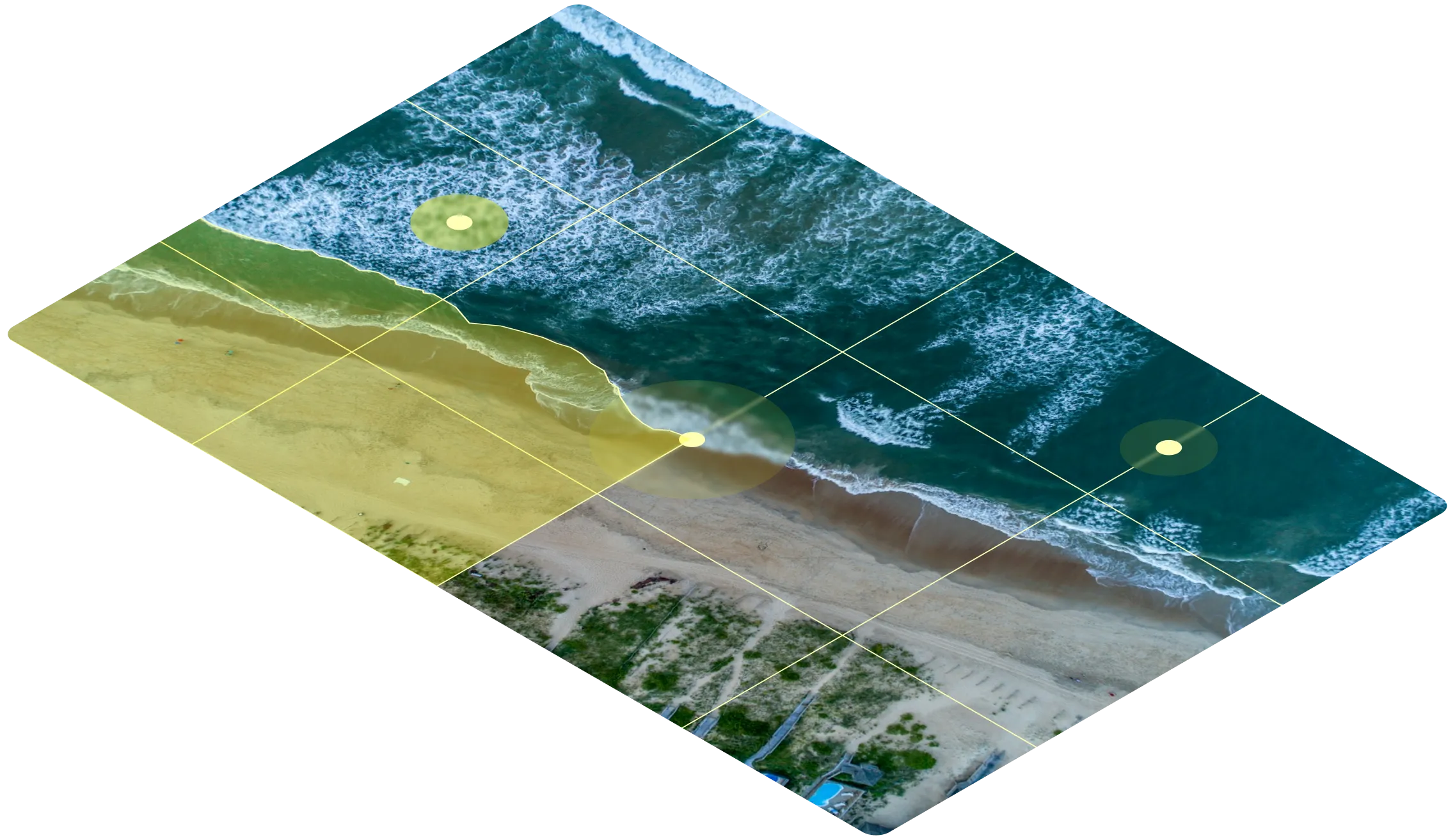
Extent

Map of where the ecosystems are, broken down to percentage coverage.

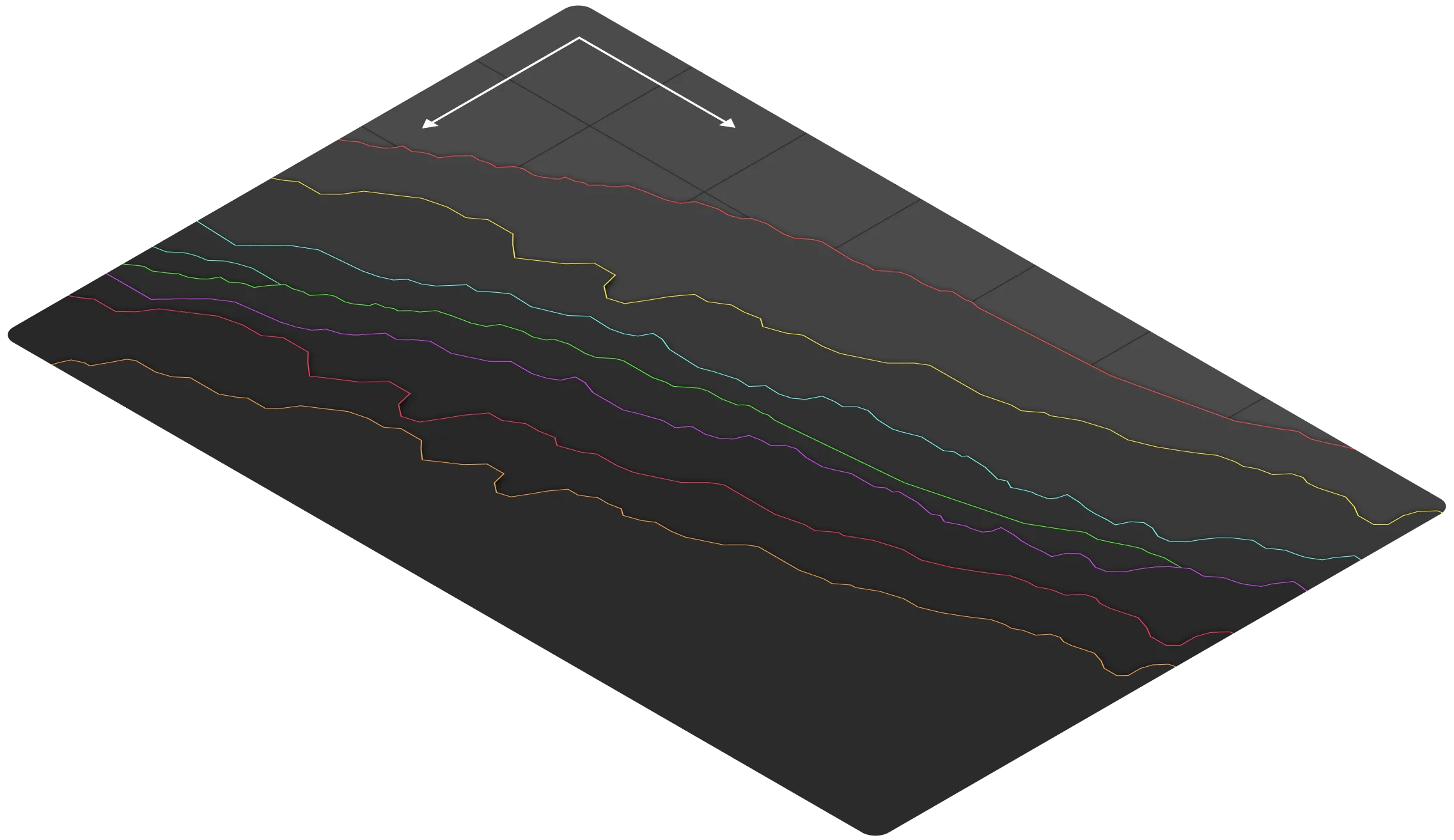
Condition

Locate areas of high or low ecosystem condition to assess risk of degradation or targets for conservation.

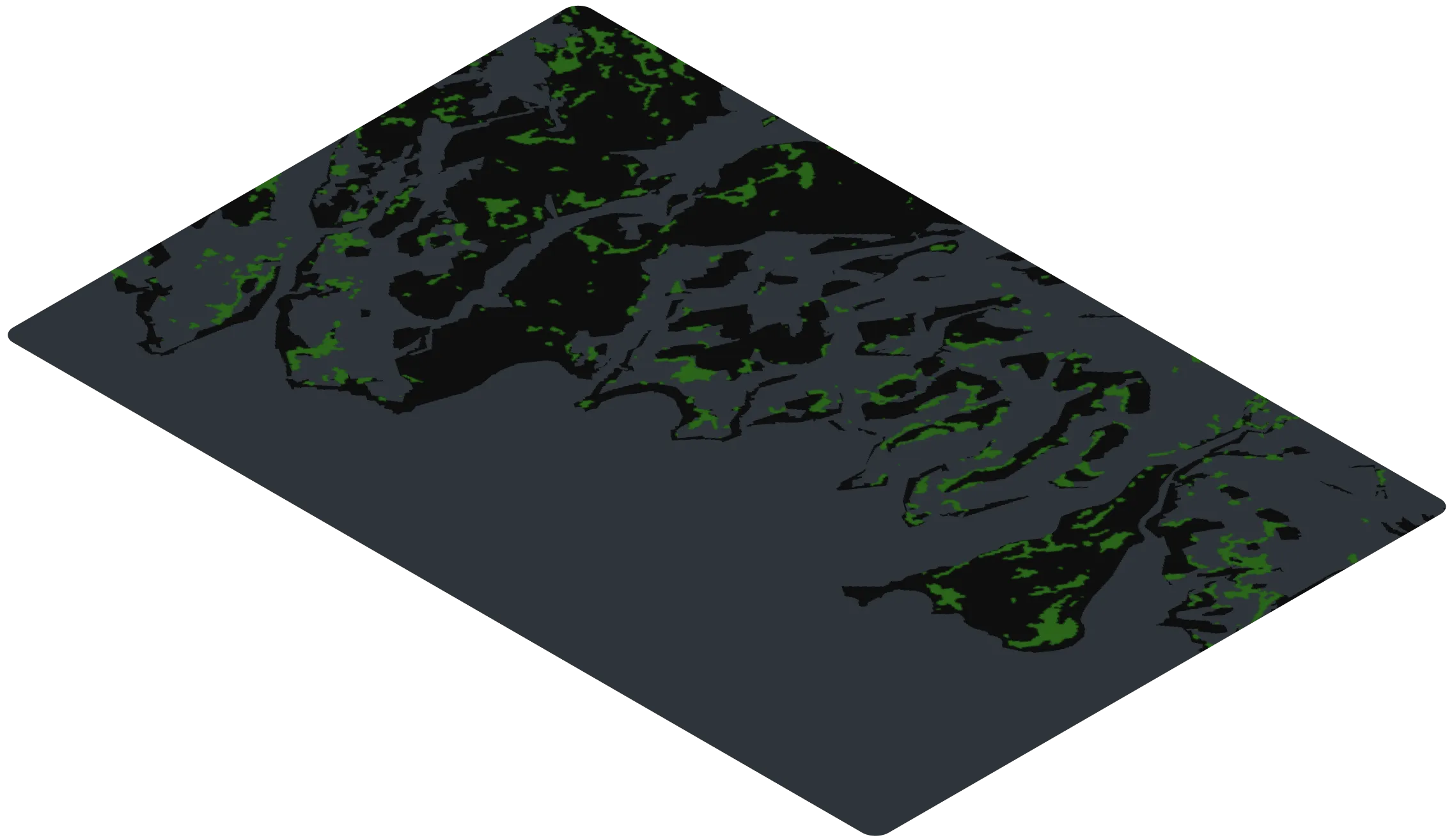
Value

Tier 2 carbon stock & biodiversity indicators (ecosystem connectivity & patchiness).

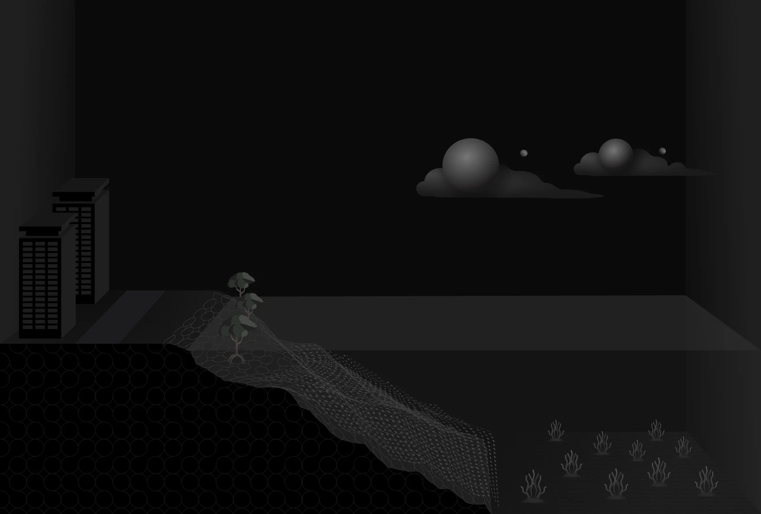
Coastal ecosystems are an essential part of climate mitigation

Value

From fishing to flood protection, healthy ecosystems provide the resources and stability that fuel our industries, communities, and the planet itself.

Threat

In the past 50 years, we've lost an unprecedented amount of these ecosystems, and each year, 450 million metric tons of C02 (equivalent to 19% of total deforestation) is emitted from the destruction of coastal wetlands.

Project Developers

Turn your conservation activity into an asset, not an expense

Why us?

  • End-to-end technical support from feasibility assessment to implementation and verification
  • Large-scale projects for ROI and embedded risk to attract upfront investment
  • Reduce time & cost in field with spatial analytics and machine learning
  • Measure, track, and communicate your impact with meaningful metrics

Who we serve

  • Environmental Agencies
  • Environmental Consultancies
  • Costal Developers
  • NGO
Corporates | Investors

Engage in high-impact coastal conservation & restoration

Why us?

  • High quality environmental and social impact alongside mission-aligned partners
  • End-to-end technical verification and integration for reporting & communication
  • Confidently invest with precision analytics and rigorous quality management
  • Measure and report on your impact with continuous, standardised monitoring

Who we serve

  • Financial Institutions
  • Corporates
  • Natural Capital Funds
River

We can deploy our technology at any scale - from national to local

The larger the project area, the better the time & cost efficiencies

Seychelles

Seychelles

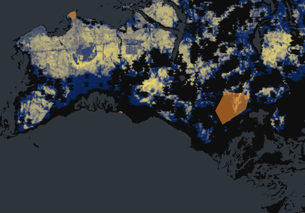
The first time remote sensing was used to establish nationally determined contributions. We quantified billions in blue carbon that is being used by the government to fund conservation & restoration efforts.

Seagrass-restoration

Seagrass restoration

Case study coming soon.

Let's help you with your next project

Meet the team

Operating at the intersection of conservation, private and public sector, Ocean Ledger aims to build a collaborative, replicable model for marine conservation and restoration that leverages on-the-ground expertise, capability building and new technologies for state-of-the-art monitoring, reporting and verification.

Paige

Paige Roepers

Chief Executive Officer

  • 4 years of investment banking at Barclays and strategy consulting at Founders Intelligence (Accenture).
  • Divemaster qualified with 200 hours spent underwater and field research experience in Bahamas, Fiji & Indonesia.
  • BSc in Biology from University of St Andrews, focus on marine biology, ecology & evolution.
    Dimos

    Dimos Traganos

    Chief Scientific Technology Officer

    • 10 years in blue carbon remote sensing, developing a unique technical skill set that combines remote sensing and coastal ecology.
    • Global Seagrass Project (tech transfer) Manager at German Aerospace Center.
    • 2nd most cited scientist in Remote Sensing for Ecosystems.
    • PhD in computer science & oceanography.
      Jeremiah

      Jeremiah Nieves

      Lead Scientific Engineer

      • "Jack of all trades" with 10 years in geospatial engineering & software development.
      • Founded his own consultancy, applying GIS, modeling, machine learning, and data science to resolve business challenges (clients included Meta)
      • PhD in Geography: Quant methods and remote sensing, University of Southampton (MSc) & University of Louisville (BSc) in Applied Geography